oluwatosin oyeniyi
 NEW YORK — The United Nations General Assembly has endorsed an African-led campaign to change how the world is represented on maps, backing the use of projections that more accurately reflect the true size of continents, particularly Africa.
The resolution, spearheaded by Togo and supported by the African Union, passed on September 4 with 164 countries voting in favour, the United States voting against and six countries abstaining.
The measure promotes the Equal Earth projection as an alternative to the widely used Mercator map, which enlarges landmasses closer to the North and South Poles while making regions around the equator appear smaller.
The resolution is not legally binding and does not prohibit the continued use of Mercator, particularly for navigation, where the projection remains useful. Instead, it encourages governments, schools, international organisations and technology companies to adopt maps that provide a more accurate representation of continental size.
Why Africa’s size matters
The debate may appear technical, but supporters say maps influence how people understand the world.
On the traditional Mercator projection, Greenland can appear roughly comparable in size to Africa. In reality, Africa is about 14 times larger than Greenland. The distortion occurs because Mercator preserves certain angles and directions for navigation while significantly stretching landmasses as they move away from the equator.
The Equal Earth projection, developed in 2018, is designed to preserve the relative area of continents more accurately.
For African campaigners, the issue goes beyond geography. They argue that generations of students have grown up seeing a distorted visual representation of the world in which Africa appears smaller than it actually is.
Togo’s Foreign Minister Robert Dussey has linked the campaign to wider efforts to challenge colonial-era legacies and improve how Africa is represented internationally. He has argued that maps influence education, perceptions and the way people understand global importance.
An African-led diplomatic campaign
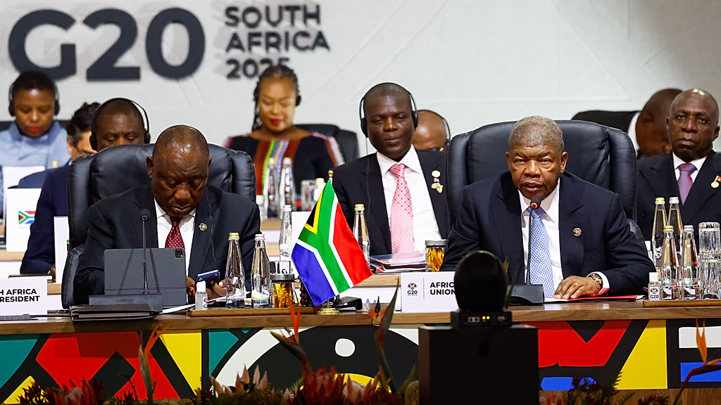
The resolution represents an unusual example of African countries using multilateral diplomacy to shape a global conversation.
Togo led the initiative at the United Nations, building on a wider campaign supported by the African Union and advocacy groups seeking to promote more accurate world maps.
Togo has said it plans to update its own school geography materials by the end of 2026 and encourage other governments, schools and technology companies to follow. Discussions with African Union members and other international partners are expected to form part of the next phase of the campaign.
The overwhelming vote also demonstrates that the proposal attracted support well beyond Africa.
However, the United States was the sole country to vote against it, arguing that the initiative promoted an ideological agenda and distracted from more pressing international challenges.
Beyond the map
The UN decision does not change Africa’s geography. What it could change is how that geography is presented.
That distinction is important. The Equal Earth projection cannot by itself address the continent’s economic inequalities, political challenges or historical grievances. But supporters argue that accurate representation matters because visual tools shape education and public understanding.
The next challenge is implementation.
Governments can begin by reviewing maps used in schools and public institutions, while technology companies and digital platforms can consider offering equal-area projections more prominently where appropriate.
African governments can also use the campaign to strengthen geography education and encourage students to understand the continent through accurate data rather than inherited visual assumptions.
A symbolic win with practical implications
The UN vote is ultimately a recommendation rather than a mandate. Its influence will depend on whether governments, educators and technology companies actually change the maps they use.
For Africa, however, the resolution represents a significant diplomatic and cultural victory.
The campaign has placed an everyday object — the world map — at the centre of a broader conversation about representation, historical power and how Africa is perceived globally.
Changing a map will not change the continent’s challenges. But ensuring that Africa is represented according to its actual geographical scale is a small, tangible step towards correcting a distorted picture of the world.
The real test now is whether the UN vote remains a symbolic resolution or becomes the beginning of a wider shift in classrooms, institutions and digital platforms around the world.